 Jeff and I decided to go for another run this evening but wanted to try and find some new trails to run on. While I was checking out the Cuyahoga Valley National Park map online tonight I noticed some trails to the west of Riverview Rd. and south of Peninsula called the "Oak Hill Area". Click here to view a map of this area. You will see that this area consists of 3 or 4 loops that are connected together. The longest stretch of trail here is the Plateau Trail which is 4.9 miles, with the next being the Oak Hill Trail at 1.5 miles.
We began our run at the Valley Picnic Area parking lot next to Riverview Rd. and headed west along the Plateau Trail towards Chestnut Pond. This trail starts off going uphill for a good 1/2 mile or so and then levels out and winds back and forth. It is nicely maintained and wide enough most of the way for two runners to run side by side. There are also sections where the trees/plants grow tall enough on each side of the trail to make a neat enclosed corridor. This reminded me a lot of the Mosquito Lake and West Branch trails.

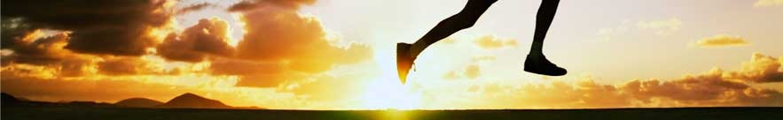
With the sun gradually setting faster each night (tonight's sunset was 7:20), we wanted to try and see what the Chestnut Pond looks like while there is still some sunlight, so we kept a decent pace for the first mile and a half. Unfortunately when we reached the pond we noticed that it resembles a swamp more than a pond...

After this we then came across a nice section of trees which lined the trail on each side in a straight line. It reminded me a lot of the Buckeye Trail as you're heading towards the Boston Store with all those tree roots.
 Soon we reached the Oak Hill trailhead which has a fairly large parking lot and a nice outdoor bathroom like the one at Pine Lane. After Jeff made a pit stop , we continued running south on the Oak Hill Trail, hoping to go the right way to get back to our cars but also trying to get in some mileage as well. Along the way we ran into this guy that was walking his dog and he told us to take the 2nd right (just after the sign directing you to the Hemlock Ravine) to get back to our cars at the Valley Picnic Area. We were both curious where the first trail to our right went though and decided to take it and then backtrack to where we came from. Surprisingly when we reached what is known as "Hemlock Point" on the Oak Hill Trail map we came across a sign that you won't see very often...
We then hopped back onto the Oak Hill trail and had about a mile to go before reaching our cars and finishing our run with a total of 4.5 miles. There are still some sections in this area that I'd like to explore, but I'm sure that I'll be back here again.
3 comments:
Hey Brian,
Yea, this is a nice area that we frequent more during the winter months with Vince inevitably gets us lost. We leave Lock 29 on the Towpath then cross the tracks/Riverview and head on up. Gorgeous scenery up there and a nice break from the rooty/rocky terrain but still being on the trails.
See you soon!
Brian,
That is a great area. I take our cross country team there alot during the Summer. Very good for hill workouts going from the parking lot up and back, as well as just doing loops.
Nick - Yeah, it is nice. Reminded me a lot of the Pine Grove trail.
Jim - My brother was just saying on our run how he thought it would be perfect for hill repeats.
Post a Comment